Radio stereo with USB/Bluetooth and remote control.
€157.14
€224.48
-30%

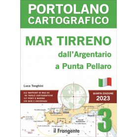
This pilot book describes the Tyrrhenian coast from the Argentario promontory to Punta Pellaro on the Calabrian coast opposite the Strait of Messina. This stretch of coastline is flanked by islands, the main ones being Giglio, the Pontine Islands, Ischia and Capri.
The volume is divided into five main areas and comprises 96 charts providing detailed illustrations of harbour plans, landing places and anchorages.
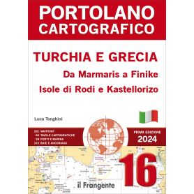
This pilot describes one of the most picturesque stretches of Turkey’s southern coast, from Marmaris to Finike, and the Greek islands of Rhodes and Kastellorizo.
The volume is divided into five main areas and comprises 86 charts providing detailed illustrations of harbour plans, landing places and anchorages.
The introduction includes information on entry formalities, distances and main routes, nautical charts of the navigation area and meteorological information.
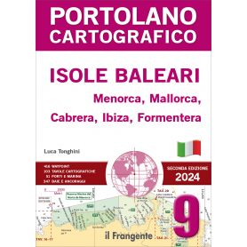
This pilot, comprising 103 charts, provides a detailed description of the Balearic archipelago, consisting of the islands of Menorca, Mallorca, Cabrera, Ibiza and Formentera. The introduction includes distances and main routes, traditional and digital charts, and general meteorological information.
The navigation area is divided into five macro-zones, each of which includes a quick guide to the main ports and marinas, along with their facilities (water and electricity supply, fuel, technical assistance, etc.).
This port guide covers the entire Tyrrhenian coast from Monte Argentario to Reggio Calabria, a stretch of coastline renowned for its fascinating islands and archipelagos. Among these are the Pontine Islands, Capri, and Ischia, which rank among the most enchanting destinations in the Mediterranean.
The highlight of the guide is its 96 detailed charts, which comprehensively describe harbors, landing places, and anchorage points. These are complemented by an overview chart showing distances and main routes, as well as nautical charts of the sailing areas.
The book is entirely in German.
This harbour guide covers the coast of Sicily as well as the surrounding Aeolian and Aegadian Islands, the island of Pantelleria, the Pelagie Islands and the Maltese Islands.
The focus of the guide is on 131 detailed charts, which provide comprehensive descriptions of harbours, moorings and anchorages.
These are supplemented by an overview map showing distances and main routes, as well as nautical charts of the navigation zones. Valuable weather information for each sea area, including local conditions, aids in the careful planning of a voyage.
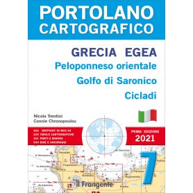
Now in its fifth edition, this pilot guide remains an essential reference for sailors wishing to explore this cruising area, which is extraordinarily rich in islands, anchorages and landing places, set against a natural and historical-cultural backdrop of great beauty and interest. The volume describes the coastline starting from the Saronic Gulf and covers the entire Aegean, including the island of Crete, the Cyclades, the Sporades and the Dodecanese archipelago, before heading down to the small island of Kastellorizo, the southernmost Greek outpost in the far eastern Mediterranean. This pilot, which stands out for the wealth of information characteristic of Imray nautical guides, is considered an indispensable tool for anyone wishing to explore this corner of the Mediterranean.
The eastern Adriatic coast is, along with Greece, one of the most popular cruising destinations in the Mediterranean, with over 1,200 islands and 800 kilometres of coastline, offering a vast array of landing places, marinas and anchorages – a choice that can be overwhelming. This pilot, comprising 99 general charts, has everything required to meet the needs of the yachtsman: compact, with clear graphics, comprehensive, up-to-date and reliable.
This pilot book, comprising 166 charts, provides a detailed description of the coasts of Montenegro and Albania. For the sake of completeness, it also includes neighbouring navigation areas, covering the Ionian coasts of Italy from Bari to Capo Rizzuto, the islands of Corfu and Paxos, and the Greek mainland coast from the Albanian border to Ligia.
The introduction sets out the distances and main routes for the entire area, the necessary charts and entry formalities.
The navigation area is divided into six macro-zones, for each of which a quick guide to the main ports and marinas, along with their facilities, is provided.
This harbour guide covers the Ligurian Sea, the northern Tyrrhenian Sea and the coasts of Corsica.
The highlight of the guide is the 146 detailed charts, which provide a comprehensive description of harbours, landing places and anchorages. These are supplemented by a general chart showing distances and main routes, as well as nautical charts of the navigation areas.
Valuable meteorological information for each maritime area, including local conditions, helps you to plan your cruise carefully.
This pilot book describes the coasts of Liguria and Tuscany, along with the islands off their coasts, and Corsica, in 148 charts.
The introduction includes general information on the sailing area, distances and main routes, a list of useful nautical charts, and general meteorological information.
The volume is divided into five macro-zones, each of which includes a quick guide to the main ports and marinas and their facilities.
This coastal guide covers the Balearic Islands, comprising five islands: Menorca, Mallorca, Cabrera, Ibiza and Formentera. Its key feature is the 103 detailed charts providing comprehensive information on harbours, landing places and anchorages. These are supplemented by an overview chart showing distances and main routes, as well as nautical charts of the navigation areas.
Valuable meteorological information for each maritime area, including local conditions, helps you plan your cruise carefully. The guide divides the area into five navigation zones, for each of which clear information tables are provided, summarising repair, refuelling and technical assistance services.
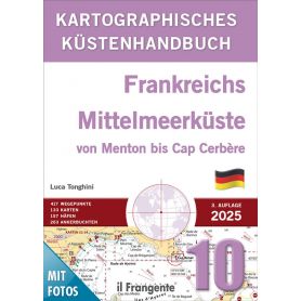
This harbour guide covers the French Mediterranean coast from the Italian-French border to the French-Spanish border. It includes the so-called Riviera, the entire Côte d’Azur, Provence and the Languedoc-Roussillon region.
The focus of this coastal guide is on 133 detailed charts, which provide comprehensive descriptions of harbours, moorings and anchorages. These are supplemented by an overview map showing distances and main routes, as well as nautical charts of the navigation zones.
Valuable weather information for each sea area, including local features, helps with the careful planning of a voyage.
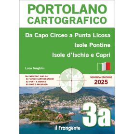
This pilot book describes, in 50 charts, the coastline of the central Tyrrhenian Sea from Capo Circeo to Punta Licosa, including the islands off the coast: the Pontine Islands (Ponza, Zannone, Palmarola), Ventotene and Santo Stefano, Ischia, Capri and Procida.
The introduction includes general information on the navigation area, distances and main routes, a list of useful nautical charts and general meteorological information.
The volume is divided into two main areas, each of which features a quick guide to the main ports and marinas, along with details of the services available.
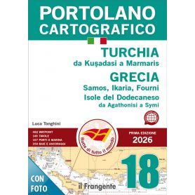
This pilot book describes, in 149 charts, the coastline of Turkey from Kuşadasi to Marmaris and the Greek islands off the coast, including Samos, Ikaria, Fourni and the Dodecanese islands as far as Symi.
The introduction includes general information on the sailing area, distances and main routes, a list of useful nautical charts and general meteorological information.
The volume is divided into five main areas, each of which features a quick guide to the main ports and marinas, along with details of the services available.
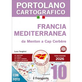
This pilot book describes the Mediterranean coast of France, from the Italian–French border to the French–Spanish border, and includes the so-called Riviera, the Côte d’Azur, Provence, and the Languedoc-Roussillon region.
The volume is divided into five macro areas and consists of 133 chart plates that illustrate, in detail, harbor plans, landing places, and anchorages.
The introduction includes general information, distances, main routes, nautical charts of the sailing area, and meteorological guidance.
At the beginning of each area, a quick-reference guide allows consultation of the main ports and marinas along with their services.
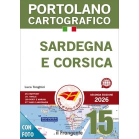
This pilot describes the coasts of Corsica and Sardinia, including all the neighbouring islands, and the Strait of Bonifacio.
The volume comprises 171 charts illustrating harbour plans, landing places and anchorages on this large island.
The introduction includes general notes on the navigation area, distances and main routes, a list of the necessary nautical charts and general meteorological information.
The volume is divided into five main areas, each of which features a quick guide listing the main ports and marinas of the two islands along with their facilities
The main feature of this pilot book is its 225 charts, which provide detailed illustrations of all the ports, landing places and anchorages within the navigation area, which is divided into five macro-zones.
The introduction includes general information on the navigation area (regulations, services for recreational boating, entry formalities, marine protected areas, etc.), a chart showing distances and main routes, a list of traditional and digital charts, and general meteorological information. The quick reference guides for each macro-area are also very useful, listing the main ports and marinas and their respective services.
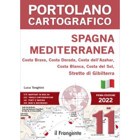
The main feature of this pilot book is its 210 charts, which illustrate all the ports, landing places and anchorages in the navigation area, presented in highly detailed plans that are easy to consult thanks to a wide range of pictograms. This volume describes the entire Spanish Mediterranean coast in six macro-zones, comprising the Costa Brava, Costa Dorada, Costa Azahar, Costa Blanca and Costa del Sol, stretching from Portbou on the Franco-Spanish border to Tarifa in the Strait of Gibraltar. The quick-reference guides at the start of each chapter list the main ports and marinas, along with their facilities and bays.
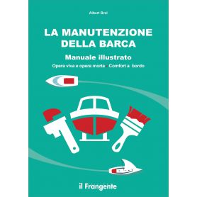
A boat requires regular maintenance if you wish to keep it in top condition and preserve its resale value. This richly illustrated manual is accessible to everyone. It describes every part of the boat and explains, step by step, everything you need to do to ensure it is well maintained and kept safe.
In 1977, Éric Tabarly asked Titouan Lamazou, who was sailing aboard the Pen Duick VI at the time, to illustrate the manual on manoeuvres that he had been writing for some time. The skipper and the crewman then set
to work, whilst sailing through the Marquesas, Tuamotu, Gambier and Austral Islands, all the way to Tahiti.
The result is this Guide to Manoeuvres, first published in France in 1978. A true compendium of the immense experience acquired by Éric Tabarly over a lifetime dedicated to sailing.
Titouan Lamazou’s illustrations enrich the text and bring life on board to life.
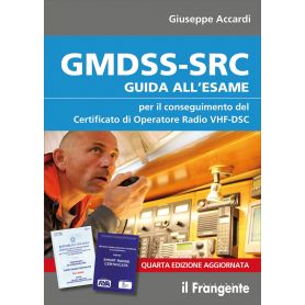
Following on from the training programme on the use of maritime radio communication systems outlined in the previous edition of the GMDSS-SRC Handbook: Guide to the Examination for Recreational Craft, this fourth edition also includes guidance on obtaining the Short Range Certificate in accordance with the RYA (Royal Yachting Association) standards in force in the United Kingdom, which can now also be obtained in Italy and is valid internationally. It is worth noting that, whilst in Italy the GMDSS certificate is compulsory only if a VHF-DSC radio is on board, in other countries this certificate is compulsory even if a VHF radio without DSC functionality is used.
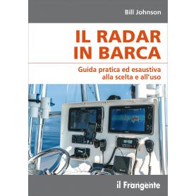
From the basics to more specific topics, this manual is intended as a practical and comprehensive guide for boaters using radar on their vessels.
The author clearly explains what radar is, outlines what it can and cannot do, and describes how to make simple adjustments to achieve an optimal image on the screen. This is followed by an in-depth look at the possible discrepancies and anomalies that may appear in the image, before moving on to the more complex features of a modern digital (raster) system. Finally, the key factors to consider when choosing and installing a radar system on board a boat are outlined.
The Skipper’s Handbook remains a useful and practical guide for skippers to keep on board, allowing for quick reference to the most important topics and concepts for navigation, presented in 27 colour, laminated sheets printed on water-repellent material.
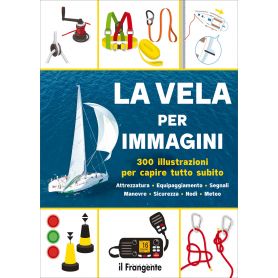
This illustrated guide provides the key to discovering and understanding the world of sailing in a simple and straightforward way.
You will learn to identify the parts of a sailing boat, in particular the different types of hull and keel, the rigging and sails, and to recognise the various types of boat and the main items of on-board equipment.
You will discover everything there is to know about safety equipment for different sailing areas, essential knots, navigation instruments, nautical charts, tides and the weather.
Not to mention basic sailing and motoring manoeuvres, buoys, lights and signals, rules of the road, the International Phonetic Alphabet, flags and pennants.
Pick a color, then click OK