WATERPROOF ROUND SHAPE STEREO RADIO USB/BLUETOOTH/DAB
€115.29
€164.70
-30%

There are 30 products.
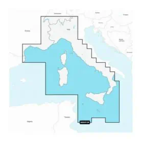
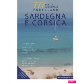
SARDINIA AND CORSICA PORTOLANO
Pick a color, then click OK