ON-BOARD INSTRUMENTATION
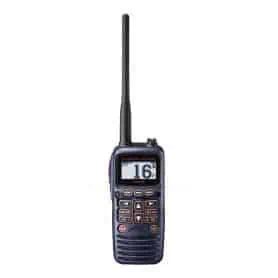
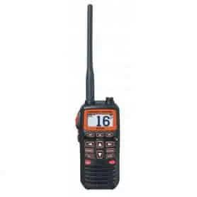
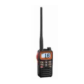
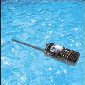
HORIZON HX320E FLOATING PORTABLE VHF 6W - IPX 7
Main features:Â
- Floatable
- Waterproof IPX7Â Â (submersible 1 meter every 30 minutes)
- Adjustable 6W RF power;
- 700mW audio power;
- Large and high-visibility display;
- Emergency flashlight activated by VHF contact with water;
- Ability to operate wirelessly through the built-in Bluetooth module;
- Quick and universal charging system with USB-C port.
- Bluetooth (connectable with any Bluetooth headset or earphone)
HORIZON HX210E FLOATING PORTABLE VHF 7W IPX7
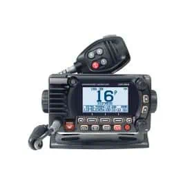
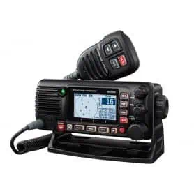
GX1850GPS/E BLACK FIXED TRANSMITTER WITH GPS
The compact and robust GX1850GPS VHF offers great installation flexibility thanks to its shallow depth of only 82 mm. The large display and intuitive menu ensure easy operation, while the noise-reducing microphone ensures crystal-clear communications.
Equipped with full DSC, ATIS and integrated 66-channel GPS, the radio can be connected to the NMEA2000 network and supports an optional RAM-4 remote unit, transforming it into a dual station with intercom function.
Programmable softkeys customise the user experience, with direct access to up to 10 channels. You can also enter waypoints, navigate using the internal compass and use the group monitoring function with DSC calling.
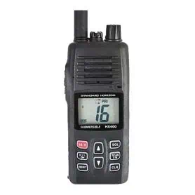
VHF TRANSMITTER HX400E 5W IPX8 - PORTABLE
The Standard Horizon HX400E portable VHF is an extremely powerful and reliable marine communication device. Thanks to PMR programming, it offers up to 40 customisable channels with CTS and DSC settings, ensuring versatility in every operating scenario.
The HX400E features a lockable keypad with extra-large keys. The built-in microphone uses noise suppression technology, ensuring clear communications even in the presence of wind or background noise typical of the nautical environment.
The large backlit screen ensures excellent readability in all lighting conditions, while the programmable scan and dual standby functions with priority on channel 16 offer constant and immediate monitoring of the most important frequencies.
Standard Horizon VHF radio, model Hx40E
The Standard Horizon HX40E is an ultra-compact VHF transceiver designed to deliver maximum performance in an extremely portable format. With 6 watts of transmit power and IPX7 protection (waterproof to 1 metre for 30 minutes), it is perfect for reliable use in a marine environment.
Despite its small size – only 52 mm wide, 95 mm high and 33 mm thick – this device incorporates a long-life Li-Po battery, capable of providing hours of continuous communication, and an FM radio receiver for listening to broadcasts.
Compact, robust and easy to use, the HX40E is the ideal choice for those looking for a high-performance, practical VHF radio, perfect for both recreational boaters and nautical professionals.
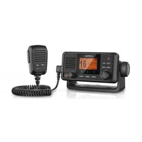
HORIZON GX1400GPS/E VHF WITH BUILT-IN GPS, CLASS D DSC
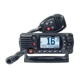
MARINE VHF GX2410GPS/E NMEA2000 BLACK COLOUR
The STANDARD HORIZON GX2410E comes standard with NMEA2000 and NMEA0183 connections, a 66-channel GPS and an AIS receiver. The integrated VHF splitter also allows you to use a single antenna for radio and AIS, reducing clutter and complications.
The large 66×36 mm display provides a clear reading of AIS targets and shows real-time data such as MMSI, vessel name, course, speed, distance and bearing. You can also set a CPA alarm to warn you of potentially dangerous approaches. When you want to contact an AIS target, the radio allows you to send an automatic DSC call.
The GX2410E thus also becomes a valuable navigation tool, thanks to its ability to store up to 250 waypoints and 30 routes.
HX891BT/E portable transceiver, IPX8 6W
The HX891BT/E is a floating marine VHF transceiver designed to ensure clear communications at all times. The high-resolution 2.3" dot matrix display offers flawless readability even in direct sunlight, while the intuitive interface with clearly defined symbols simplifies every operation.
Onboard features include waypoint navigation with digital compass, DSC group calls and Voice Scrambler. The fast and sensitive 66-channel WAAS GPS receiver ensures accurate positioning. The 1800 mAh lithium-ion battery provides up to 11 hours of battery life.
IPX8 certified, the HX891BT/E floats and can withstand immersion in up to 1 metre of water for 30 minutes.
TEACHING PAPER (NOT TO BE USED FOR NAVIGATION)
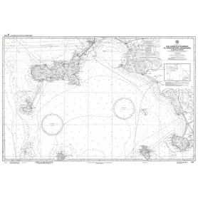
This official nautical chart of the Hydrographic Institute of the Navy accurately depicts the area between the Piombino Channel, the Argentario Promontory and the Scoglio d'Africa. Made at a scale of 1:100,000 and printed on a large sheet measuring 116 x 83 cm, it offers a detailed view of the coastline and seabed of this striking portion of the Tyrrhenian Sea.
Although an accurate reproduction, this chart is not to be used for navigation, but is a valuable resource for cartography enthusiasts, collectors and sea lovers. Perfect for enhancing studies, offices and nautical-themed environments, it is a fascinating object that tells the story and geography of our seas.
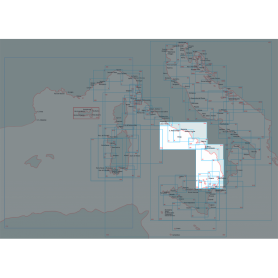
NAUTICAL CHART FROM CAPE CIRCEO TO ISCHIA AND THE PONTINE ISLANDS
Discover the Central-Southern Tyrrhenian Sea sector with this official nautical chart of the Hydrographic Institute of the Navy, produced at a scale of 1:100,000 for a detailed view of the coastline.
Area represented: from Capo Circeo to Ischia Ponte including the Pontine islands and the eastern coast of Corsica, ideal for coastal navigation and precise route planning.
Technical details: printed on high quality sheet with dimensions of 116 x 83 cm.
Reliability: official product of the Hydrographic Institute of the Navy, synonymous with accuracy and professionalism.
Perfect for yachtsmen, fishermen and anyone who wants a reliable tool for exploring this maritime area.
NAUTICAL CHART FROM DIAMOND TO CAPE COZZO
Discover the Central-Southern Tyrrhenian Sea sector with this official nautical chart of the Hydrographic Institute of the Navy, created on a scale of 1:100,000 for a detailed view of the coastline.
Area represented: from Diamante to Capo Cozzo, ideal for coastal navigation and precise route planning.
Technical details: printed on high quality sheet with dimensions of 116 x 83 cm.
Reliability: official product of the Hydrographic Institute of the Navy, synonymous with accuracy and professionalism.
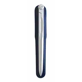
Light alloy chart compass. Length 180 mm
Anodised and satin-finished light alloy compasses. Length mm. 180
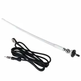
White stylus radio antenna
FM/AM radio antenna with rubber stylus, complete with 120 cm cable.
Ideal for installation on small boats or rubber dinghies.
Length 40 cm, Impedance 75 Ohm.
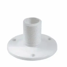
FIXED ABS ANTENNA BASE
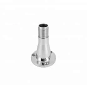
Fixed 316 stainless steel antenna base
Made of AISI 316 stainless steel, this antenna base offers strength and durability even in harsh environmental conditions. Ideal for marine and outdoor applications, it guarantees stability and durability thanks to the quality of the material, which provides high protection against corrosion.
A reliable solution for those looking for a robust and high-performance mount for their antenna.
Cartography for Lowrance, B&G, Simrad Tyrrhenian Sea Islands
Discover a new navigation and fishing experience with DISCOVER M-EM-Y201 cartography, compatible with Lowrance, B&G and Simrad instruments. Designed to offer the highest level of detail, this map covers the Tyrrhenian Coast and Islands, providing a clear and accurate view of the seabed.
The vector charts include depths, contours, sounding points, nautical aids (NavAids), light sectors, wrecks, obstacles and much more. Each element is designed to offer safer navigation and more effective fishing. You can set custom safety depths and easily locate underwater pinnacles, canyons and ledges, which are real hotspots for coastal game.
Support is guaranteed on SD or MSD cards up to 32 GB.
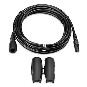
EXTENSION FOR 4 PIN GARMIN TRANSDUCERS LONG 3 MT.
WIND SPEED METER EXPLORER 1
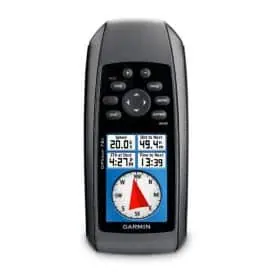
Portable Garmin GPSMAP 78S mapping GPS
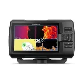
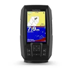
GARMIN FISHFINDER STRIKER 4 PLUS with transducer
GARMIN FISHFINDER STRIKER 4 PLUS with transducer.
GT20-M transducer - 8 PIN
Obtain ultra-clear images of objects, structures and fish under the boat with this 8-pin multifunctional transducer.
This 20-foot transducer cable with fast, integrated temperature sensor has a power rating of 500 W; a depth of up to 250 metres (traditional) and up to 70 metres (ClearVü); an operating frequency of 77/200 kHz (traditional) and 455 kHz (ClearVü); and a stern angle of 0 to 70 degrees.
Cable length 20 feet.
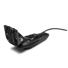
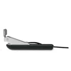
GT 30-TM Transom Transducer
The Garmin GT 30-TM Transom Transducer offers superior performance with frequencies of 455/800 kHz, ideal for detailed bottom scanning and fish locating. With a 20-foot (6-meter) long cable and 12-pin connector, it is easy to install and compatible with a wide range of Garmin devices. Designed for stable mounting on the stern, it ensures reliability and accuracy in all marine conditions.
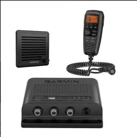
VHF 315i
The new VHF 315i is a modular system that provides maximum convenience on large vessels where a station with multiple communication stations is required, or on vessels where there is no space to install a conventional VHF in the console. It is equipped with Class D D DSC digital selective calling, for emergency and direct calls with MMSI. It has a built-in GPS receiver with connector for optional external antenna. The selectable 1/25 W transmit power of the new VHF 315i offers peace of mind and safety to everyone on board. NMEA 2000 connectivity allows easy integration with compatible chartplotters, multifunction displays and simplifies the software update process.


