NAUTICAL CARTOGRAPHY - AUTOPILOTS
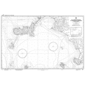
NAUTICAL CHART FROM DIAMOND TO CAPE COZZO
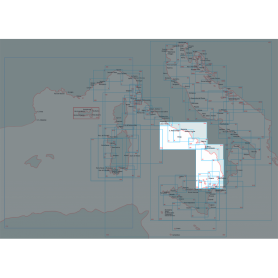
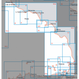
Discover the Central-Southern Tyrrhenian Sea sector with this official nautical chart of the Hydrographic Institute of the Navy, created on a scale of 1:100,000 for a detailed view of the coastline.
Area represented: from Diamante to Capo Cozzo, ideal for coastal navigation and precise route planning.
Technical details: printed on high quality sheet with dimensions of 116 x 83 cm.
Reliability: official product of the Hydrographic Institute of the Navy, synonymous with accuracy and professionalism.
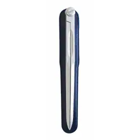
Light alloy chart compass. Length 180 mm
Anodised and satin-finished light alloy compasses. Length mm. 180
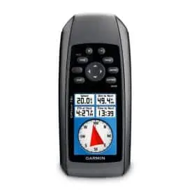
Portable Garmin GPSMAP 78S mapping GPS
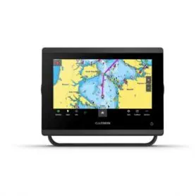
GPS MAP 723
The GPSMAP® 723 is a 7‘’ chartplotter, without echo sounder, with a pre-loaded world base map. It offers simplified integration with engines via the J1939 port and is compatible with NMEA 0183, NMEA 2000 and the Garmin Marine Network.
Key features:
Sailing functions: layline, race start line, optimised wind rose, real wind data, currents, tides, wind angle, drift and wind speed.
Polar chart: display of data to optimise boat speed and performance.
Data Sharing: share maps, user data, radar and IP cameras between Garmin devices on board.
OneHelm™: a single screen to manage functionality from third-party devices such as the EmpirBus™ home automation.
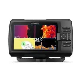
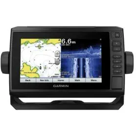
Eco-plotter GARMIN ECHOMAP UHD 92SV with GT56 transducer.
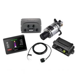
Compact 40 hydraulic steering autopilot with GHC
The Compact Reactor™ 40 autopilot with GHC™ 50 Instrument Pack is the perfect solution for vessels with hydraulic steering systems, providing precise and reliable control even in the most challenging marine conditions. Thanks to its 9-axis solid-state AHRS, it can be mounted virtually anywhere and automatically adapts to waves and vessel movements to keep you safely on course.
The Reactor 40 corepack includes optional Shadow Drive technology, which disengages the autopilot when you rotate the rudder manually.
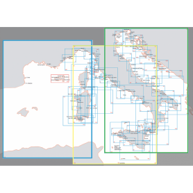
NAUTICAL CHART MEDITERRANEAN SEA - CENTRAL WESTERN
Central and Western Mediterranean Sea nautical chart.
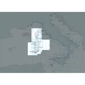
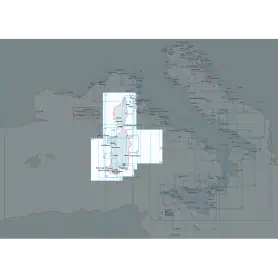
Carta nautica da Castelsardo a Olbia/Bocche di Bonif.
Official nautical chart of the Italian Hydrographic Institute of the Navy, produced on a scale of 1:100,000, representing the stretch of sea from Castelsardo to Olbia/Bocche di Bonifacio. Printed on a large sheet measuring 83 x 116 cm, the chart offers a detailed representation of the coastline, seabed and main nautical features of the area, making it an indispensable tool for navigating this stretch of the Mediterranean Sea. Ideal for yachtsmen, sea professionals and enthusiasts, it combines technical precision and graphic quality, according to the high standards of the Hydrographic Institute of the Navy.
Learning map from Castel sardo to Olbia/Bocche Bonifacio
Nautical chart of the Hydrographic Institute of the Navy, in SCALE 1:100,000, printed on sheet size 116 x 83 cm. NOT TO BE USED FOR NAVIGATION from Castel sardo to Olbia/Bocche Bonifacio.
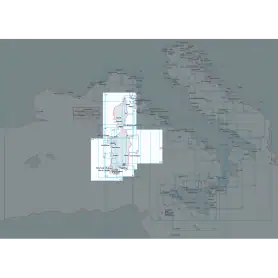
Nautical chart from Olbia to Capo di Monte Santu
Official nautical chart of the Italian Navy Hydrographic Institute, scale 1:100,000, from Olbia to Capo di Monte Santu Printed on a large sheet measuring 83 x 116 cm, the chart offers a detailed representation of the coastline, seabed and main nautical features of the area, making it an indispensable tool for navigating this stretch of the Mediterranean Sea. Ideal for yachtsmen, sea professionals and enthusiasts, it combines technical precision and graphic quality, according to the high standards of the Hydrographic Institute of the Navy.
Nautical chart of Olbia and Golfo Aranci
Official nautical chart of the Istituto Idrografico della Marina, produced on a scale of 1:100,000, representing Olbia and Golfo Aranci. Printed on a large sheet measuring 83 x 116 cm, the chart offers a detailed representation of the coastline, seabed and main nautical features of the area, making it an indispensable tool for navigation in this part of the Mediterranean Sea. Ideal for yachtsmen, sea professionals and enthusiasts, it combines technical precision and graphic quality, according to the high standards of the Hydrographic Institute of the Navy.
NAUTICAL CHART FROM LINGURE SEA TO TYRRHENIAN SEA (ST.SICILY)
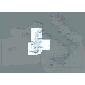
Nautical chart of the Hydrographic Institute of the Navy (LIGURY SEA - TYRRANEAN SEA - STRAIT OF SICILY)
Navigate with precision through the Ligurian Sea, Tyrrhenian Sea and Strait of Sicily thanks to this official nautical chart of the Hydrographic Institute of the Navy, produced at a scale of 1:1,000,000.
Area represented: sector of the Ligurian Sea and Central-Northern Tyrrhenian Sea, perfect for deep-sea navigation and long-range orientation.
Technical details: printed on high quality, durable foil, with dimensions of 83 x 116 cm.
Authenticity: compliance with the highest standards of cartographic accuracy of the Hydrographic Institute of the Navy.
Indispensable for navigation professionals, sea enthusiasts and chart collectors.
Nautical chart from Cape Bellavista to the Strait of Bonifacio
Official nautical chart of the Italian Hydrographic Institute of the Navy, produced on a scale of 1:100,000, representing the stretch of sea from Cape Bellavista to the Strait of Bonifacio. Printed on a large sheet measuring 83 x 116 cm, the chart offers a detailed representation of the coastline, seabed and main nautical features of the area, making it an indispensable tool for navigating this stretch of the Mediterranean Sea. Ideal for yachtsmen, sea professionals and enthusiasts, it combines technical precision and graphic quality, according to the high standards of the Hydrographic Institute of the Navy.
NAUTICAL CHART FROM FIUMICINO TO PUNTA LICOSA
Explore the Central-Southern Tyrrhenian Sea with this official nautical chart of the Hydrographic Institute of the Navy, produced at a scale of 1:250,000.
Area covered: from Fiumicino to Punta Licosa, perfect for route planning and coastal navigation.
Technical details: printed on high quality sheet, with dimensions of 116 x 83 cm.
Officiality: guarantee of accuracy and updates according to the standards of the Hydrographic Institute of the Navy.
An essential tool for mariners, fishermen and sea enthusiasts, ideal for safe planning or for collectors of nautical maps.
Available now to enrich your navigation experience!
NAUTICAL CHART FROM PORT S.GIORGIO TO PORT CORSINI
This official nautical chart of the Hydrographic Institute of the Navy accurately depicts the area of the north-central Adriatic, extending from Porto San Giorgio to Porto Corsini. Made at a scale of 1:250,000 and printed on an 83 x 116 cm sheet, it provides a detailed view of the coastline and maritime features of the area.
Cartridge c-map Discover central mediterranean
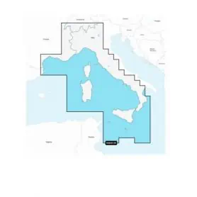
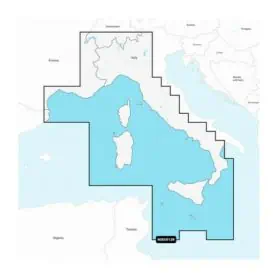
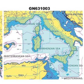
The C-MAP DISCOVER cartridge for the Italy Mediterranean West Coast area is a modern and complete cartographic solution, ideal for yachtsmen, fishermen and sailors who wish to safely and accurately explore the entire western strip of Italy, from the French border to Calabria, including the major islands such as Sardinia, Corsica and Elba.
High-quality, up-to-date vector cartography compatible with leading Lowrance, Simrad and B&G chartplotters
Detailed isobaths for clear representation of the seabed, ideal for both coastal navigation and fishing
Nautical points of interest such as harbours, anchorages, shore services and useful information for stopping and refuelling
Auto Routing Easy Routing™, which automatically suggests safe routes based on depth and vessel size.
32GB MicroSD Card with Cartography Italy
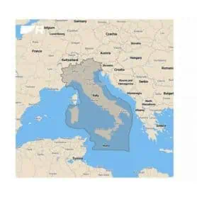
Master the waters around you with LightHouse Italia cartography. Discover extraordinary and customisable nautical charts, with depth zones in different colours, information-rich points of interest and a clarity that only Raymarine can offer you. With LightHouse Italia cartography you can discover every detail and explore without limits. Compatible with Raymarine Axiom, Axiom+, Axiom Pro, Axiom XL and Raymarine Element.
The nautical charting coverage area includes detailed charts of the entire Italian coastline, including all major ports and Sicily.


